Independent terrestrial position aiding for inertial navigation systems and multi-sensor navigation platforms, supporting navigation where GNSS is degraded, unavailable or denied.
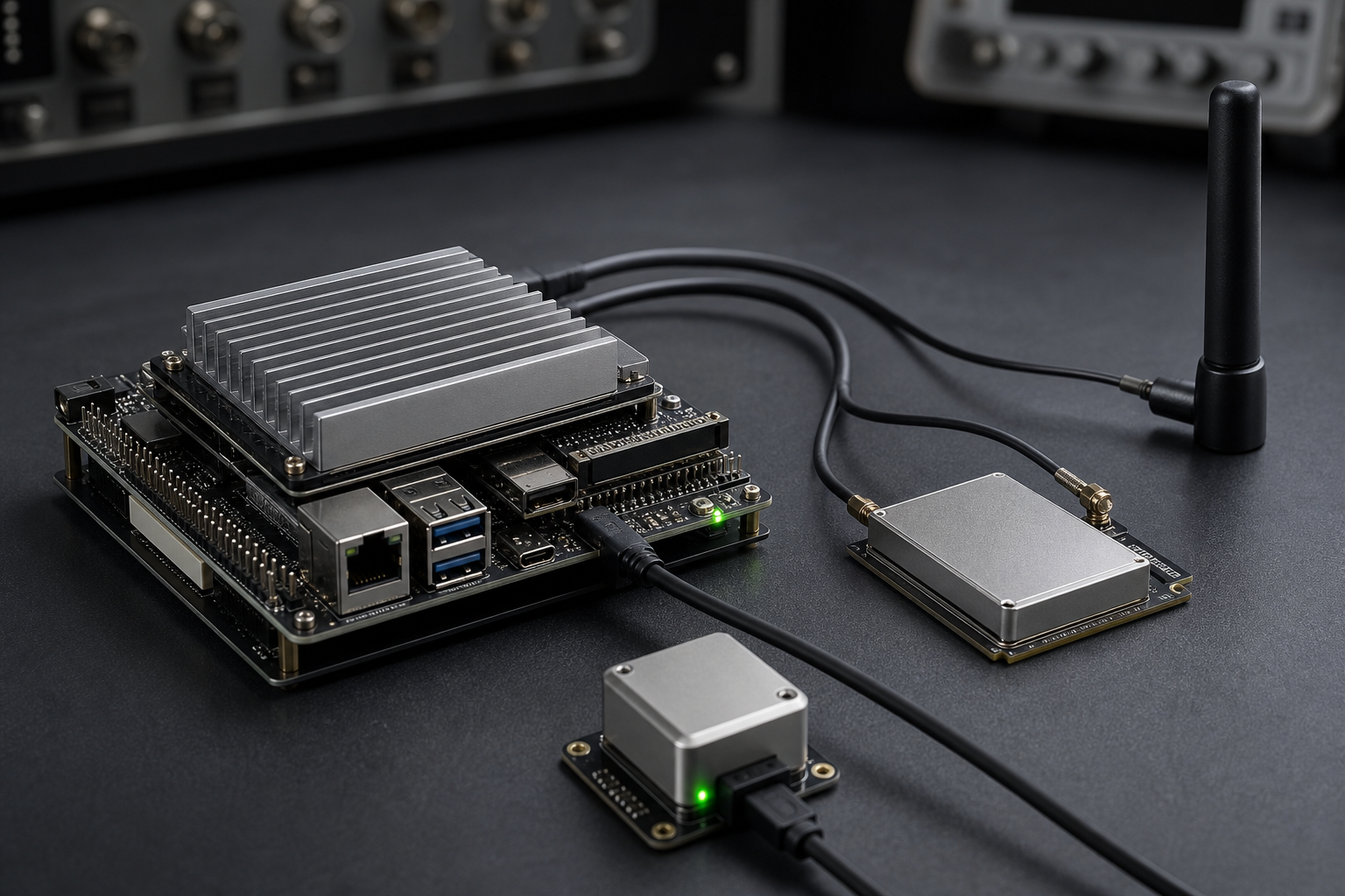
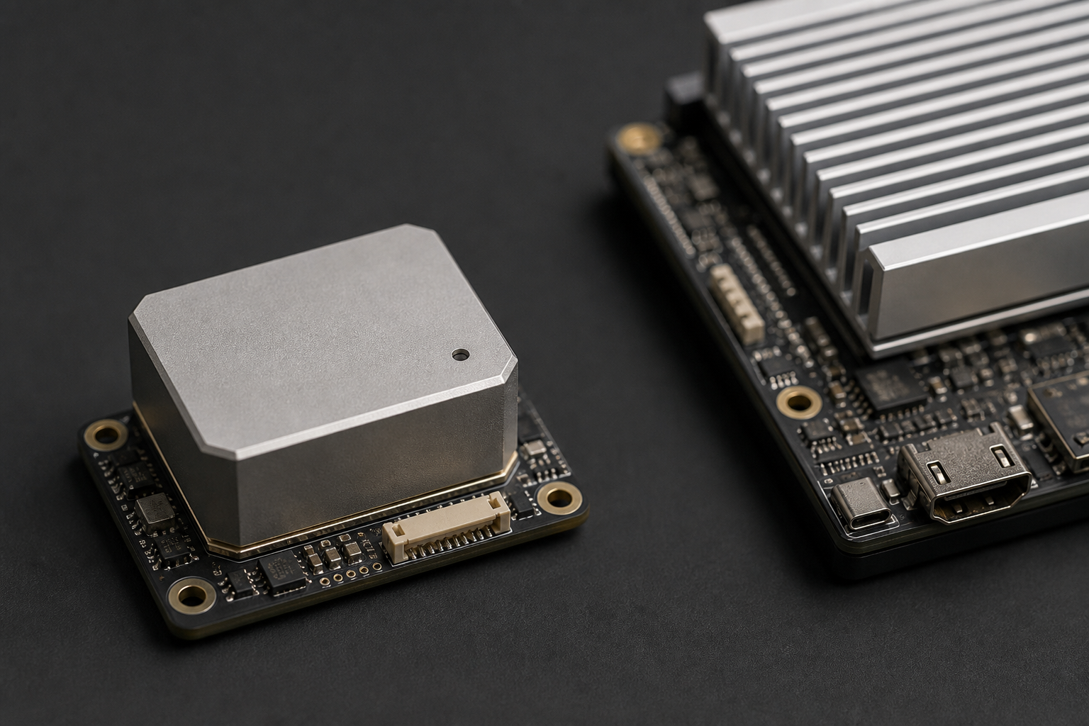
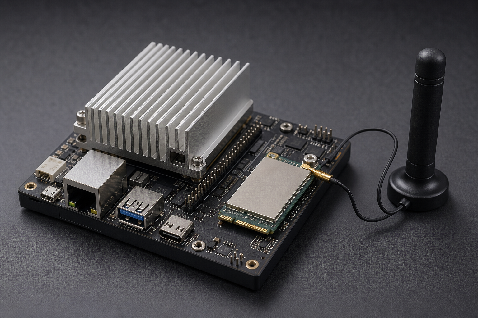
Melrose Networks NavAid™ provides an independent terrestrial positioning input for inertial navigation systems and multi-sensor navigation platforms, improving positioning resilience when GNSS is degraded, unavailable or denied.
Modern navigation systems achieve resilience by combining multiple independent sources of position, velocity and timing information. NavAid adds terrestrial radio infrastructure as another source of position information.
The resulting position observation can be supplied to an inertial navigation system or navigation computer alongside GNSS and inertial measurements. The host system remains responsible for the final multi-sensor fusion.
NavAid is software that runs on a compact compute board with a suitable LTE modem. It supplies position observations to the host INS or navigation computer.
A typical integration combines GNSS, inertial navigation, NavAid and other available sensors in the host INS or navigation computer. This reduces reliance on a single positioning technology and can contribute to a multi-sensor resilient PNT architecture.
NavAid is intended for engineers, programme managers and operators who need an additional terrestrial positioning input in defence, autonomous systems, aerospace, maritime, robotics, critical infrastructure, public safety and other resilient PNT applications.
The host architecture already uses GNSS, inertial sensors and, where specified, other aiding sources.
NavAid supplies an independent terrestrial position observation, with measurement time and position quality or uncertainty information where appropriate.
The receiving system determines how those observations contribute to its navigation solution. NavAid does not replace the host fusion.
The INS or navigation computer produces the fused navigation solution from GNSS, inertial measurements, NavAid and other available sensors.
NavAid may provide the following information to the host navigation system. Performance depends on the operating environment, available terrestrial infrastructure and system configuration.
Geographic position: an independent terrestrial position estimate for use as an external observation.
Measurement timestamp: time associated with the position observation.
Position quality information the receiving system can use when deciding how the observation should contribute.
Uncertainty information appropriate for sensor fusion, where the host system supports it, together with status and integrity indicators where applicable.
GNSS can be unavailable, degraded, obstructed, interfered with, spoofed or intentionally denied. NavAid adds a terrestrial source of position information in those environments.
Typical operating contexts include:
Terrestrial communications networks provide geographically distributed infrastructure with fundamentally different characteristics from satellite navigation systems.
NavAid uses this infrastructure as an additional source of position information for the navigation system.
Terrestrial radio networks are already widely deployed across populated and many operational areas.
NavAid is designed to integrate with professional INS and navigation platforms through external aiding interfaces. Compatible SBG Systems INS products can accept generic external position aiding, allowing NavAid position observations to contribute to the INS navigation solution alongside inertial and GNSS measurements.
Integration may support Ethernet, serial communications, software APIs and other interfaces depending on platform configuration. Exact interface options depend on the host navigation system and the agreed system configuration.
A typical engagement includes:
Deployed with Melrose Networks engineering support into the operator or government environment you specify.
Documentation is included with the software.
Commercial services include:
NavAid is a positioning source for the navigation architecture, not a complete inertial navigation system. The host INS or navigation computer remains responsible for the fused navigation solution.
It does not replace GNSS or inertial sensing. It can contribute to navigation resilience; it is not presented as immune to interference, spoofing or denial.
Performance depends on the operating environment, available terrestrial infrastructure and system configuration.
Reference to SBG Systems describes a compatible integration path. It does not imply endorsement, joint development, certification or exclusivity.
A detailed protocol specification is provided as part of an integration discussion, not as a public purchase flow.
Contact Melrose NetworksTalk to Melrose Networks about integrating NavAid with your INS, autonomous platform or resilient PNT system. Evaluations are commissioned — scoped and charged.
Integration discussions are available to qualified organisations specifying professional navigation systems.
To request a conversation about NavAid, email contact@melrosenetworks.com.
Additional position aiding where satellite navigation is degraded, unavailable or denied
External position observations for professional inertial navigation systems
Independent terrestrial positioning input for multi-sensor navigation architectures
Request information.
Global 24x7.